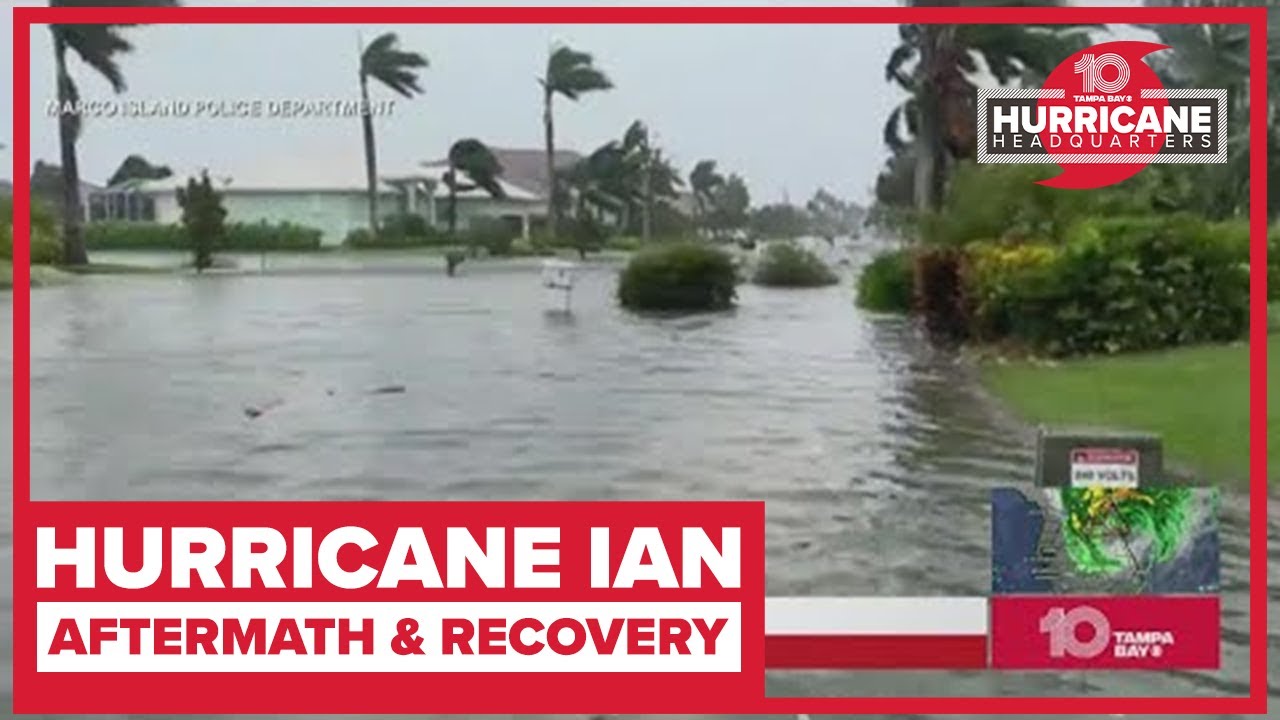
As of the 8 a.m. advisory, Tropical Storm Ian was located about 40 miles east of Orlando, with a northeast movement at 8 mph. Maximum sustained winds are 65 mph.
Ian made landfall as a Category 4 storm around 3:05 p.m. along the southwestern coast of Florida near Cayo Costa, the NHC said. It had maximum sustained winds of 150 mph, with even higher gusts.
At 4:35 p.m., Ian made a second landfall — a mainland landfall — south of Punta Gorda as a Category 4 storm packing 145-mph winds.
Further weakening is expected for the next day, but Ian could be near hurricane strength when it moves over the Florida east coast Thursday. It will also approach the northeastern Florida, Georgia and South Carolina coasts late Friday.
MORE:
10 Tampa Bay is keeping you ahead of Hurricane Ian:
FIND YOUR EVACUATION ZONE:
FIND SANDBAG LOCATIONS:
LATEST AREA SCHOOL CLOSURES:
#Ian | #FLwx
